
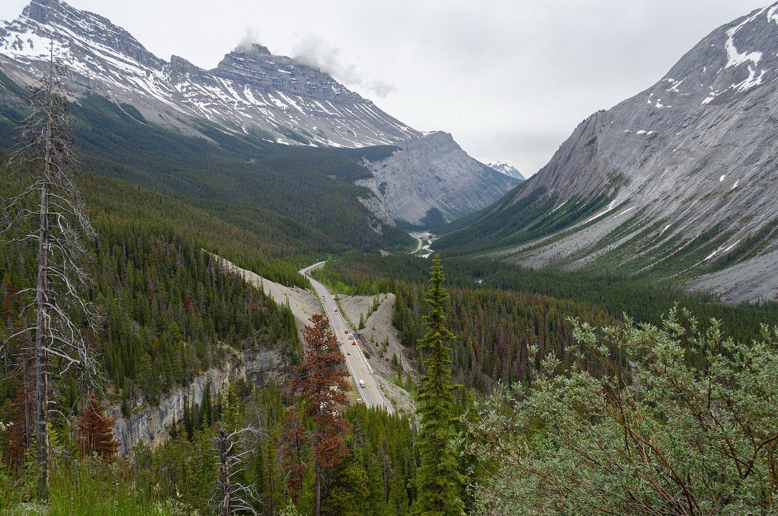
The Icefields Parkway (Highway 93 North) runs 232 km from Lake Louise to Jasper past more than a hundred visible glaciers. It is routinely called one of the most beautiful drives on Earth, and for once the brochure is underselling it. It is also a mountain road with no towns on it: what it asks of you is a full tank, a park pass, and a whole day when you could technically do it in three hours.
The stops, north from Lake Louise
- Herbert Lake, ten minutes in: the warm-up mirror shot.
- Bow Lake: walk the shoreline to Num-Ti-Jah Lodge for the classic view.
- Peyto Lake at Bow Summit: the wolf-head lake from every calendar, a short paved walk from the lot. The summit is the parkway's highest point.
- Mistaya Canyon: five minutes down a good trail to a slot canyon the river has carved into curves.
- Parker Ridge, if you have two hours: the short steep hike to a full view of the Saskatchewan Glacier.
- Columbia Icefield: the Athabasca Glacier tongue sits right by the road. Toe-of-the-glacier walking is roped and signed; respect it, the ice is not a parking lot.
- Sunwapta Falls and Athabasca Falls near the Jasper end: both a few minutes from the car, both worth it.
Location: Peyto Lake viewpoint, Bow Summit
Location: Columbia Icefield, Athabasca Glacier
Timing and traffic
Wildlife jams are part of the deal: bighorn sheep on the shoulder, the occasional bear working an avalanche slope. Slow down, stay in the car, keep moving. July and August middays are busiest at Peyto and the Icefield; starting from Lake Louise by 8 am puts you a viewpoint ahead of the tour buses all day. In shoulder season, check conditions before you commit: snow closes nothing officially but changes everything practically.
The official pages
- Parkway conditions Parks Canada's page for the drive: closures, services, seasonal notes. https://parks.canada.ca/pn-np/ab/banff/visit/promenadedesglaciers-icefieldsparkway
- Alberta 511 Live road conditions and webcams for Highway 93. https://511.alberta.ca
- Park passes Day passes and the Discovery Pass, both valid on the parkway. https://parks.canada.ca/voyage-travel/admission
Common questions
- How long does the Icefields Parkway take to drive?
- Plan a full day for the 232 km. The driving alone is about three hours, but the viewpoints are the entire point: with Peyto Lake, Mistaya Canyon, the Columbia Icefield and both waterfalls, eight hours disappears easily.
- Do you need a park pass to drive the Icefields Parkway?
- Yes. The parkway runs through Banff and Jasper National Parks and a valid Parks Canada pass is required for every vehicle, checked at a gate near the Lake Louise end. A day pass works; the Discovery Pass wins for longer mountain trips.
- Is there gas on the Icefields Parkway?
- Only at Saskatchewan River Crossing, roughly mid-route, and only seasonally. Treat the drive as having no reliable fuel: fill up in Lake Louise or Jasper before you start and the question disappears.
Tip
Doing the bigger loop? The parkway slots into a Rockies road trip between the Banff and Jasper guides. To price the fuel for the loop, use the road trip gas cost calculator.